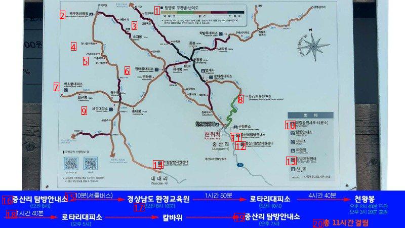
image text translation
(1)Difficulty level by trail section
(2)an actor’s campground
(3)a three-story congregation
(4)Look at the first outing
(5)a five-story wooden cloth
(6)a wooden bench of a marketplace
(7)Byeoksaryeong Shelter
(8)South Gyeongsang Province education
(9)Fossil evacuation center
(10)National Park Office
(11)Jungsan-ri Tour Information Center
(12)Jungsan-ri Exploration Support Center
(13)East Support Center
(14)Georim Exploration Support Center
(15)10 minutes shuttle bus, 1 hour 50 minutes, 4 hours 40 minutes
(16)Jungsan-ri Tour Information Center Gyeongsangnam-do Environmental Education Center Rotary evacuation center at 10:00 a.m
(17)8:10 a.m. 8:40 p.m. Departure 3:20 p.m
(18)1 hour and 40 minutes
(19)Jungsan-ri Tour Information Center, 7 p.m. Rotary evacuation center
(20)It takes 11 hours in total. 5 p.m
(1)1 Beopjeonsa Temple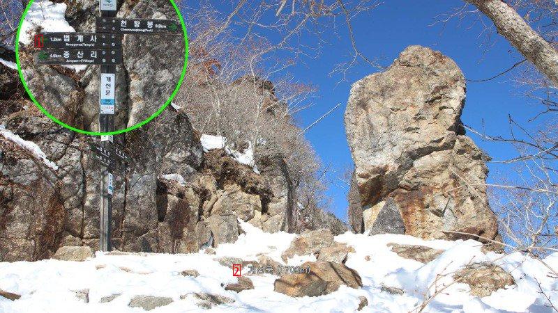
image text translation
(2)Pseudo group 1700m
(1)Gugoksan Mountain 961m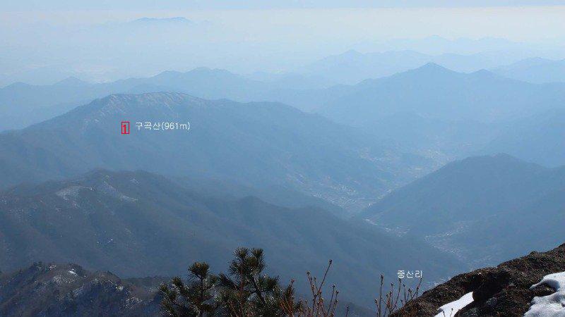
image text translation
(1)Mount Mohusan, Suncheon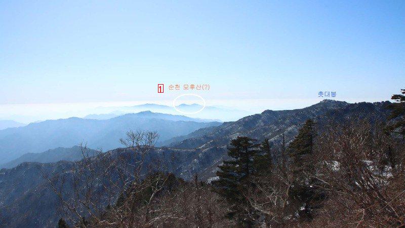
image text translation
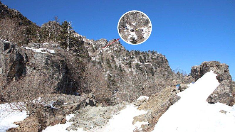
image text translation
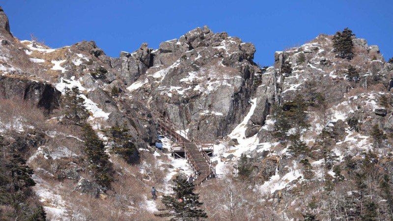
image text translation
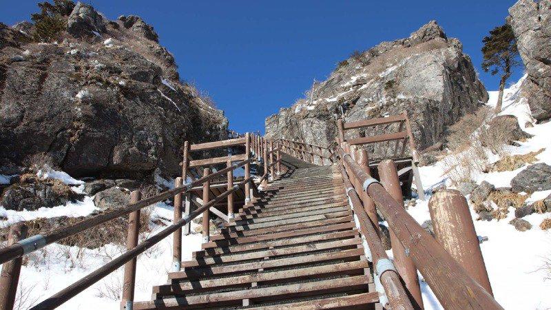
image text translation
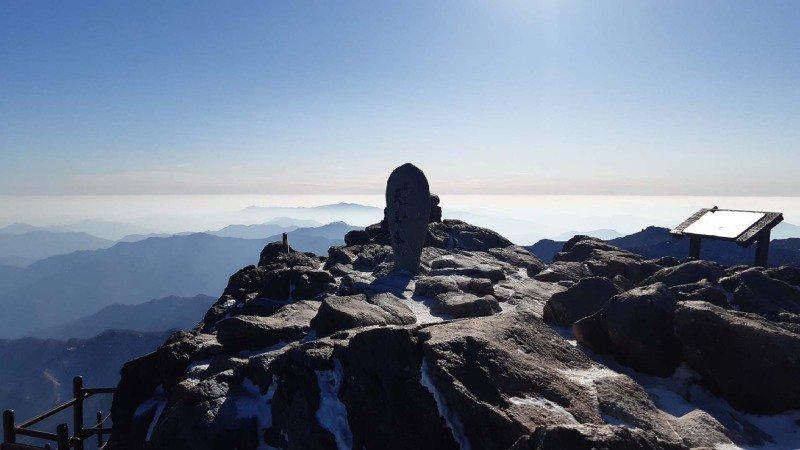
image text translation
(1)be 發原ed here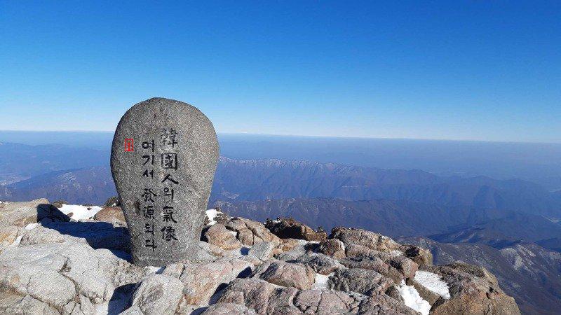
image text translation
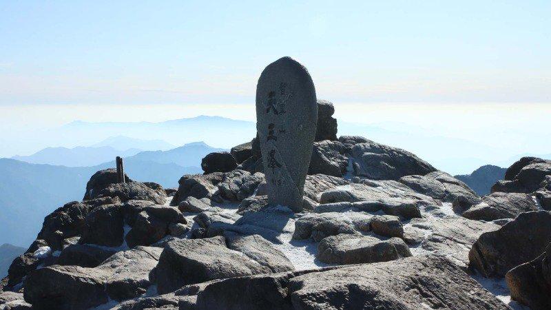
image text translation
(1)Muju Deogyusan Mountain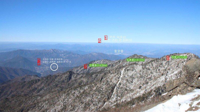
image text translation
(2)a straight line distance of about 80 km
(3)Habong 1755 m
(4)Jiri Mountain Property Construction Site Duryu Peak 1617m
(5)San 47-6 Jangwon-ri, Macheon-myeon, Damyang-gun
(6)Yeongryongbong Peak 1478m
(1)Hyangjeokbong Peak 1614 m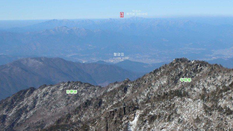
image text translation
(1)I was originally from South Gyeongsang Province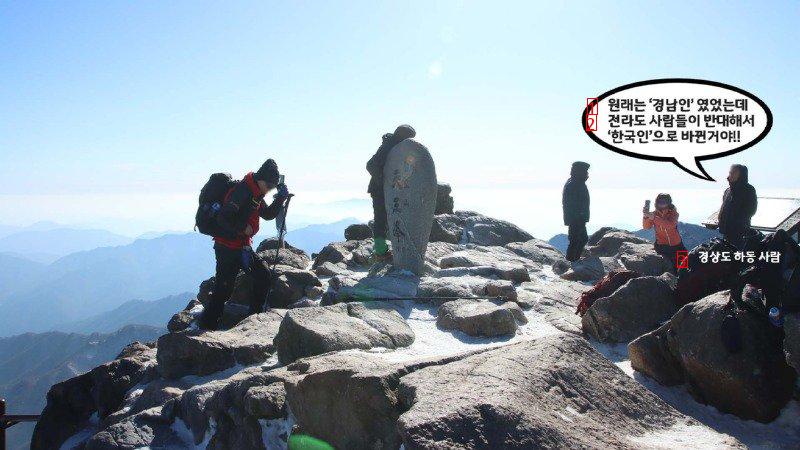
image text translation
(2)The people of Jeolla-do opposed it, so it changed to a Korean!!!
(3)people from Hadong, Gyeongsang Province
(1)It’s 發源 here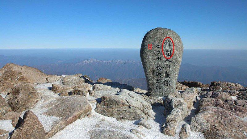
image text translation
(1)The 良 of 象 is 發源 here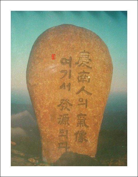
image text translation
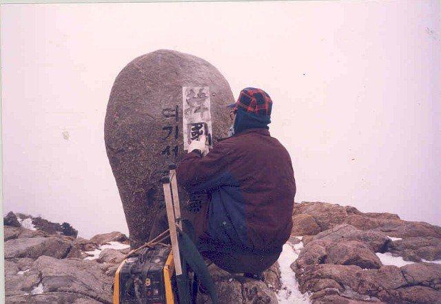
image text translation
The local sentiment even at the top of Jirisan Mountain