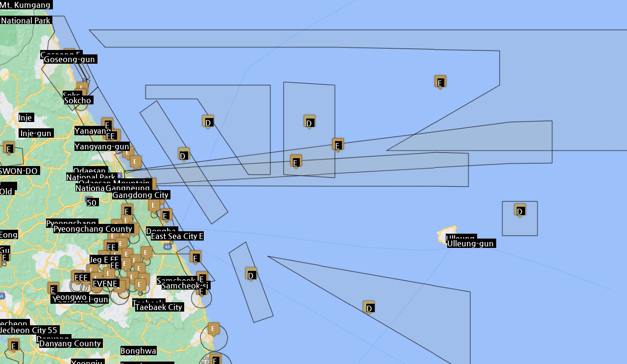
The flight restriction area temporarily designated from noon on the 4th to daytime on the 5th in the direction of the East Sea from Gangneung City, the above navigation notice 
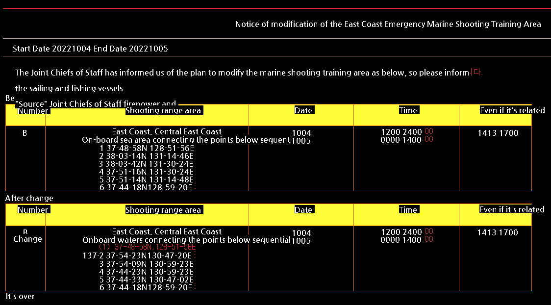
Announcement of navigational warning maritime fire drills issued at approximately the same time 
You can see that the coordinates are almost the same if you look at the details of the notification 
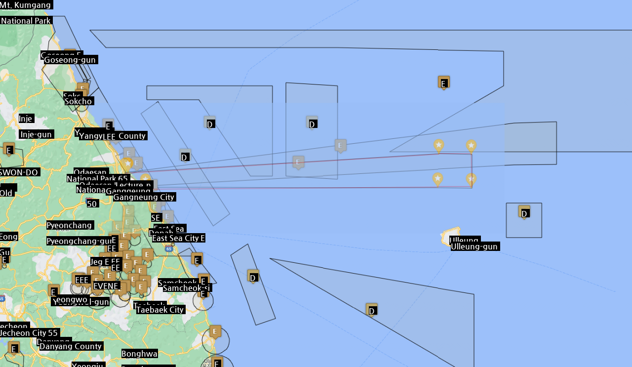
If you visualize the navigation alarm coordinates on the map, it looks like this 
It’s almost the same if it overlaps
a fact to be known by
No matter what weapon was launched or was scheduled to be launched, an emergency firing drill was scheduled to take place from Gangneung to the far sea of the East Sea between the 4th and 5th
2 The launch plan target point is likely to have been changed once
The additional Joint Chiefs of Staff has a history of firing our military’s Hyunmoo ATACMS in response to North Korea’s missile counterattack in May